



EarthQuake App

Descripción de EarthQuake App
Earthquake app helps you track latest earthquakes from around the globe by showing earthquakes of 0.1+ magnitude from the United States and of 4.5+ magnitude worldwide.
This app uses data from USGS. http://www.usgs.gov/
What is USGS?
The United States Geological Survey (USGS) is a science organization of the United States government. USGS provides impartial information on our ecosystems and environment, natural hazards, natural resources, the impacts of climate and the core science systems.
Features:
- Latest quakes from worldwide.
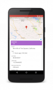
- Shows details of an earthquake.
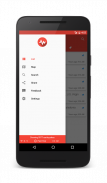
- Filter what you want to see via different filters.
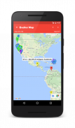
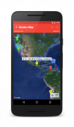
- Shows earthquakes on Google map.
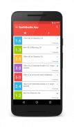
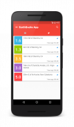
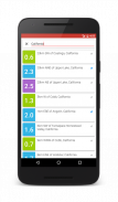
- Colour coded pins on map and list.
- Shows earthquakes from the past hour, day, week or even a month.
- Choose between different types of map.
- Share earthquake details to others.
- Shows the distance between you and the quake.
- (New) Earthquakes can be pinned.
- (New) Search for an earthquake.
What does colour coded mean?
It means that earthquakes of different magnitudes will be shown via different colour pins on the map and different background colours in the list.
4.5


